

Cirrus and haze removal with ATCOR-4
For accurate and consistent reflectance retrieval, a successful removal of haze, dust and cirrus is a must, specifically if changes of land cover are to be analysed by multitemporal data acquisition through airborne imagery.
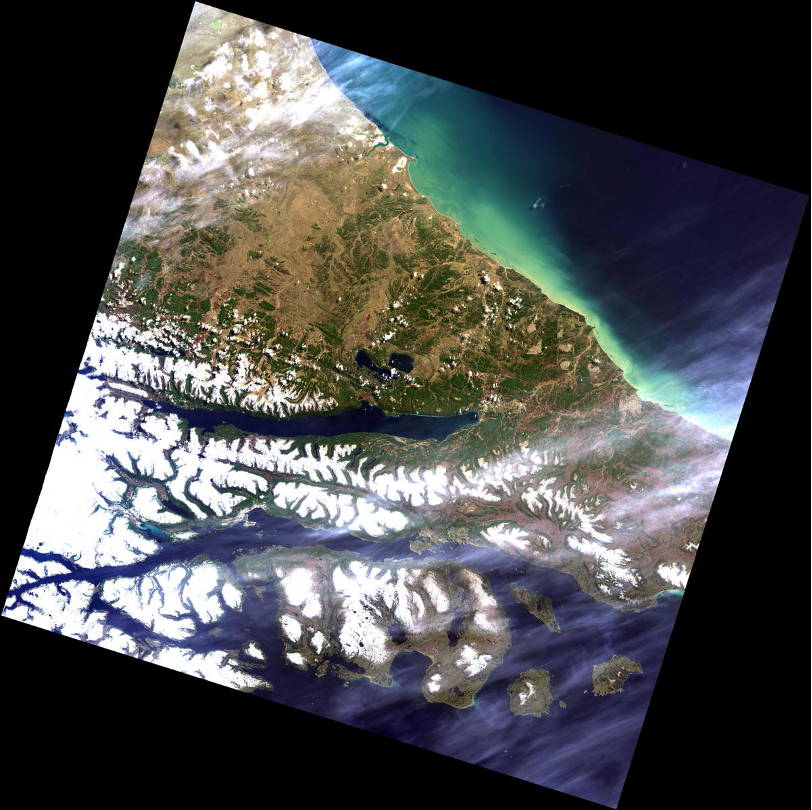
Landsat-8 haze and cirrus removal (ATCOR-3)
This example shows the removal of cirrus and haze during atmospheric correction with ATCOR-3. This image was acquired by the Landsat-8 instrument over Fireland, Patagonia.
The scene is affected by both cirrus cloud and haze portions which could almost fully removed by the ATCOR combined cirrus-haze removal.

AVIRIS haze and cirrus removal (ATCOR-4)
This example shows the removal of cirrus and haze during atmospheric correction with ATCOR-4. This image was acquired by AVIRIS on April 6, 1996 over Palmdale, CA at a flight altitude of 20 km. AVIRIS is a hyperspectral instrument with 224 bands from 370 – 2500 nm with an average spectral bandwidth of ~10 nm. It is operated on a high altitude (20 km) airplane with a ground sampling distance of 20 m.
The scene is overcast with very thin to very thick cirrus clouds (original image on the left). The elimination of cirrus effects (right image) is very effective except for areas of very thick cirrus clouds in the southern part of the scene.


Haze Removal
The atmospheric haze in imagery may be removed with ATCOR®-4 in a statistical procedure before going into atmospheric correction routines. By using ATCOR®-4 specific parameter settings can be chosen for this procedure. If joint cirrus/haze removal is selected, cirrus and haze affected areas are processed in one step (only available for sensors with a 1.375 micron band).

